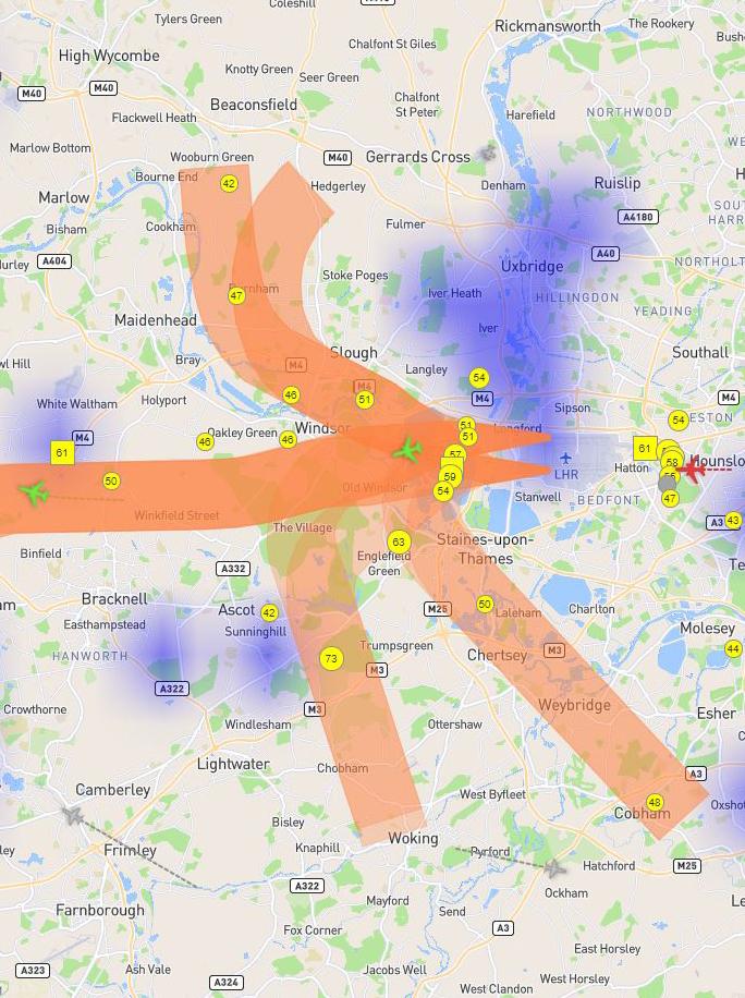
Use our three map-based tools to find out how your area is overflown by aircraft using Heathrow.
Track flights in this map-based tool which provides information on heights, noise levels, departure routes and local weather patterns.
Analyse how Heathrow aircraft fly over your property, including the numbers, heights, position and types of aircraft.
Find out general information about where Heathrow aircraft fly and how often particular flight paths are used.
Flight data provided via Heathrow’s Noise and Track Keeping system is taken directly from the National Air Traffic Services (NATS) radar that is used to direct aircraft at Heathrow. The accuracy of the system has been verified by the Civil Aviation Authority and by independent Dutch company NLR.


